|
Staffordshire is one of
the largest counties in England. Despite this it seems to be known only to the cognoscenti. It has been described as
"England's best-kept secret".
It is a county of
contrasts and, whilst there are large towns, it is predominantly rural. There
are over 2500 miles of footpaths and bridleways. There are also three long-distance
paths within the County.
 |
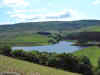
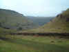
The Staffordshire Way takes a broadly north-south route from Mow Cop to
Kinver Edge passing through some spectacular beauty around the Cloud and the
Churnet Valley. |
|
The Millennium Way is very new; it runs east-west from Burton to
the Shropshire boundary near Newport. The path follows long sections of canal
and disused railway (not, I must admit, my favourite terrain but it was intended
to promote access for all) |
|
Unlike the others, the
Heart of England Way is not entirely within the County. It starts at Milford
Common, which is the north-east corner of Cannock Chase, leaves the county
near Tamworth before running through Warwickshire to the Cotswolds. |
|
 |
For a full description of
the countryside, look at the County
Guide. You'll need to look under "Beauty Spots"
Here's an interesting new site
on rights of way in Staffordshire
 |
 |
 |
 |
 |
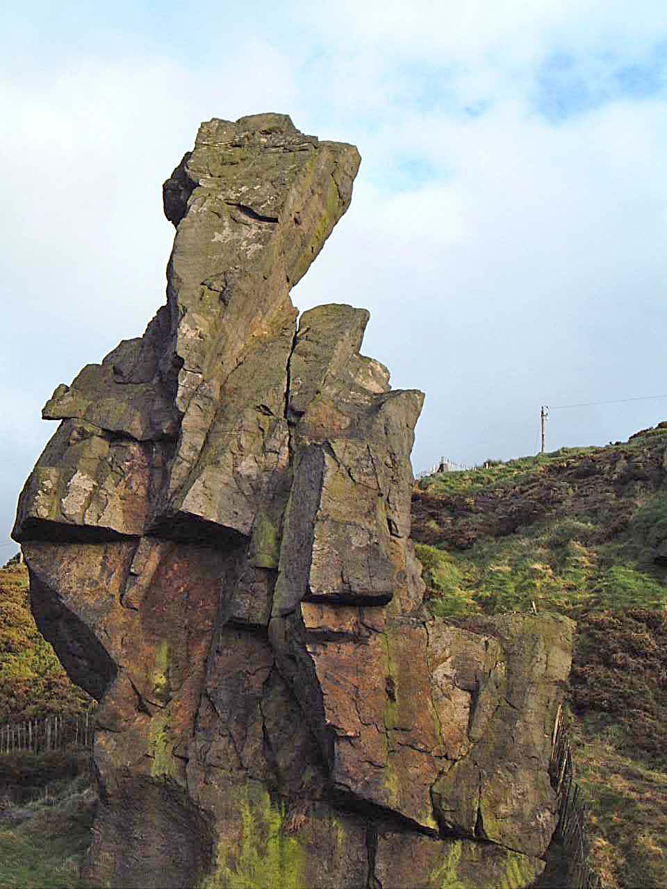
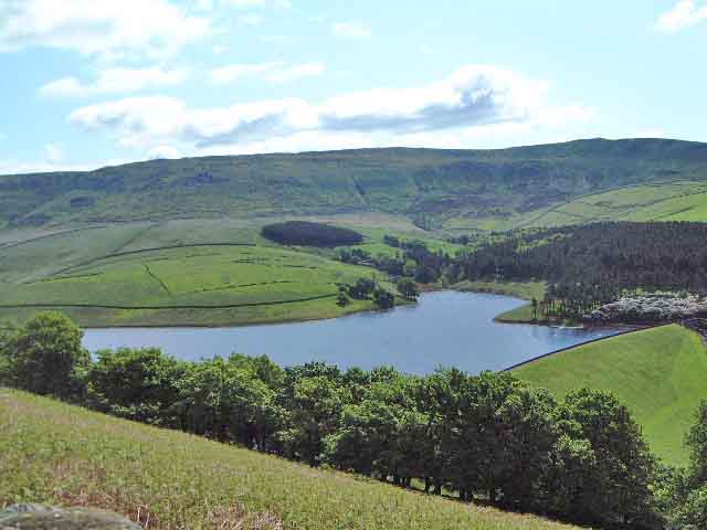
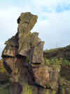
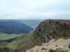
| Old Man of
Mow |
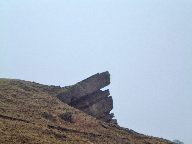
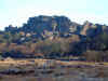
The Roaches |
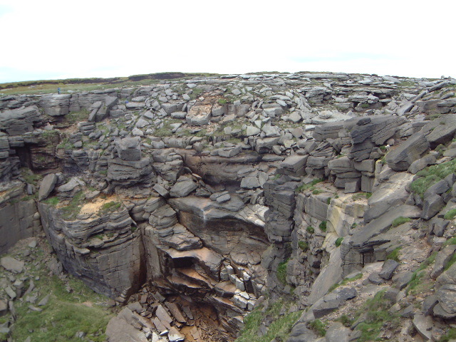
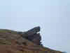
Hanging
Rock |
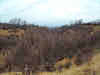
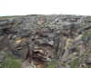
Fauld
Crater |
Cannock
Chase |
| |
|
|
|
|
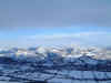
Ah, Kinder Scout, spiritual
home of all ramblers in Britain since the Mass Trespass and its prominent
position at the start of the Pennine Way. You have only to see the name and you can
hear Ewan McColl singing "The Manchester Rambler".
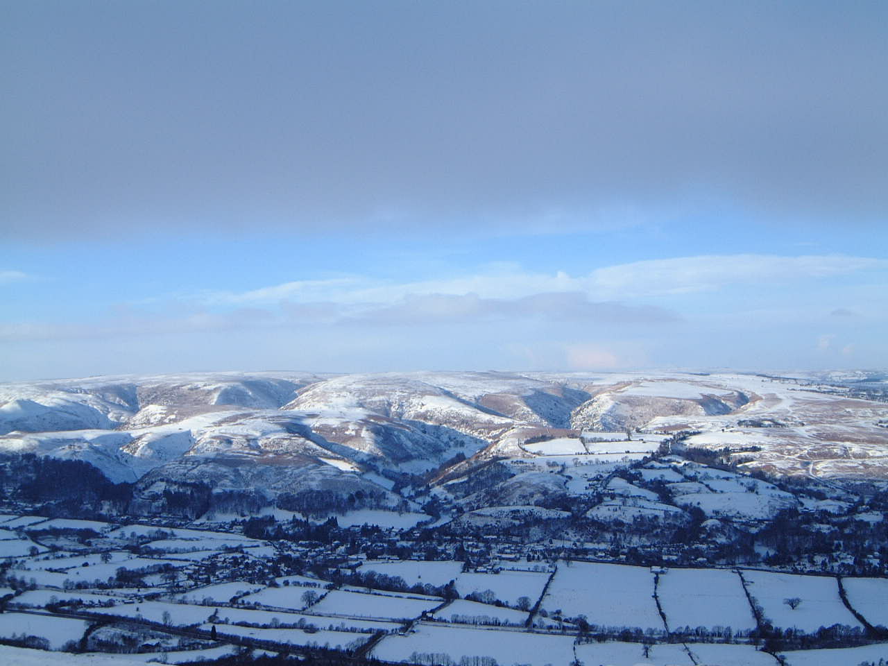
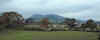
Everyone associates
Derbyshire with the Peak District. We do in Stafford because that is the border
between the counties; indeed there is a substantial chunk of both the Dark and
White Peak in Staffordshire. Dovedale, arguably the prettiest valley in England,
forms the boundary for most of its course.
|
|
|
|
|
|
|
Alportdale |
Kinder Scout |
Kinder Downfall |
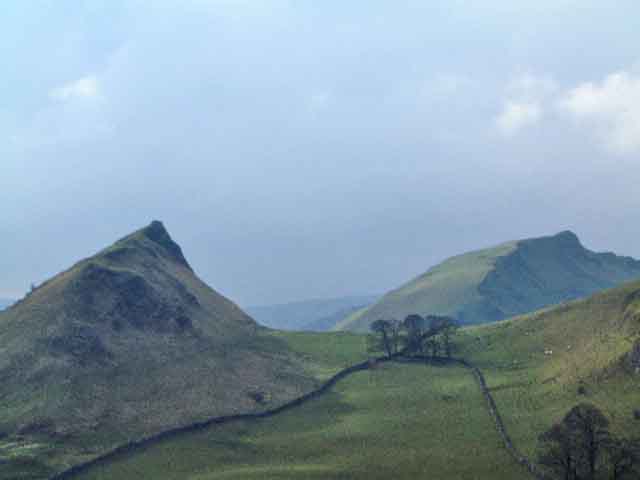
Parkhouse & Chrome
Hills |
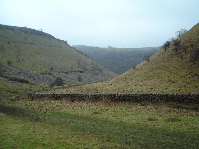
Lathkilldale |
| |
|
|
|
|
I live near the Shropshire
border and increasingly I'm looking in that direction for new and challenging
walks. I fell in love with the Marches years ago when I lived in Worcester; it
was one of my ambitions to finish my working life living there so I've not done
too badly. As I drop down into the village on my way home from work I can see
the Wrekin and the Clee Hills.
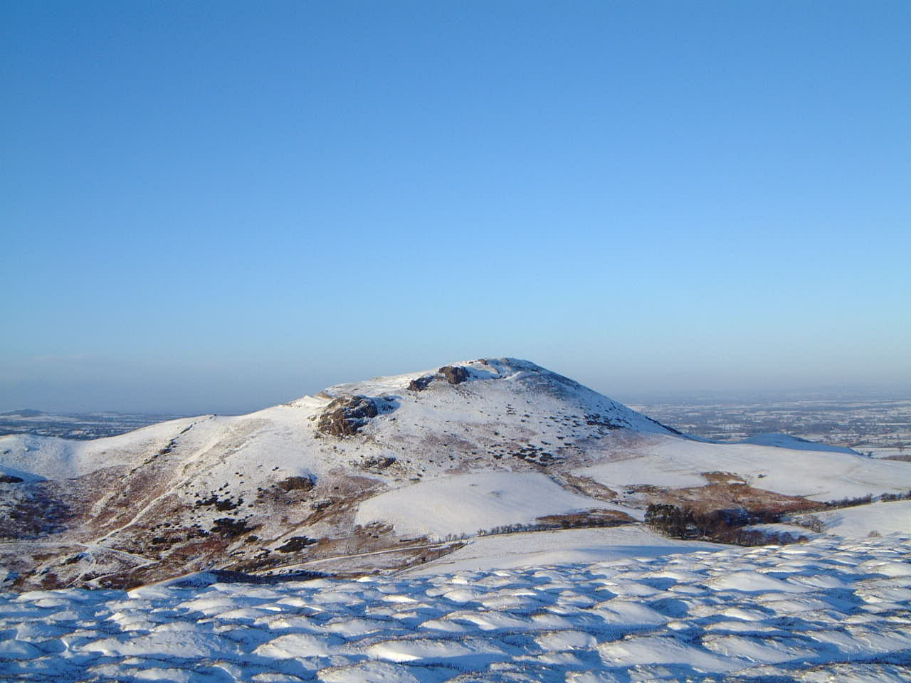
Of course you the best
countryside is in the west and south of the County. It has a good number of Marilyns;
Staffordshire and
Derbyshire have only one Marilyn each.
 |
 |
 |
 |
 |
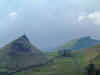
| Earls
Hill |
The
Long Mynd |
Caer
Caradoc |
Climbing
the Wrekin |
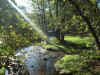
East Onny Stream |
| |
|
|
|
|

|